Log in
All resources
Create a design
4,035 Free Images of World Map
bibliothèque nationale de france
cartography
geography
national library of poland
maps
patrimonium 2 (project)
liber qvartvs contrafactur vnd beschreibung von den vornembsten stten der welt (zzk 0.32)
love
peace
country
background
maps
old maps of the london underground
maps by macdonald gill
noto color emoji nougat
svg map icons
atlas géographique des quatre parties du monde (delisle)
folded maps
atlas géographique des quatre parties du monde (delisle)
18th-century maps of africa
atlas géographique des quatre parties du monde (delisle)
maps of paris by guillaume delisle
atlas géographique des quatre parties du monde (delisle)
map of italy by guillaume delisle (1700)
atlas géographique des quatre parties du monde (delisle)
folded maps
atlas géographique des quatre parties du monde (delisle)
18th-century maps of france
maps in the british museum
taddeo crivelli
atlas géographique des quatre parties du monde (delisle)
map of europe by guillaume delisle (1700)
arnold van langren map of east africa
1600 maps of africa
continent
human
cartography
maps
17th-century maps of the indian ocean
maps by willem and johannes blaeu
multiple national flags on stamps
stamps of russia, 1995
bibliothèque nationale de france
maps by thomas kitchin
maps by girolamo ruscelli
maps by girolamo porro
imperial war museum first world war artwork
francis dodd
background
maps
background
maps
arnold's geographical handbook (1899)
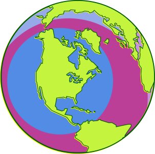
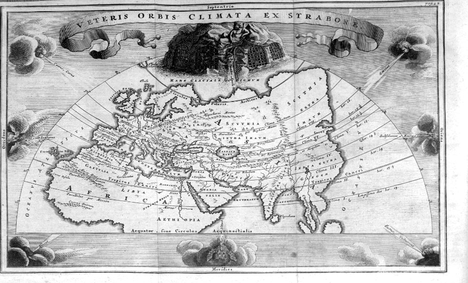
global maps of climate zones
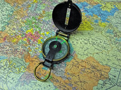
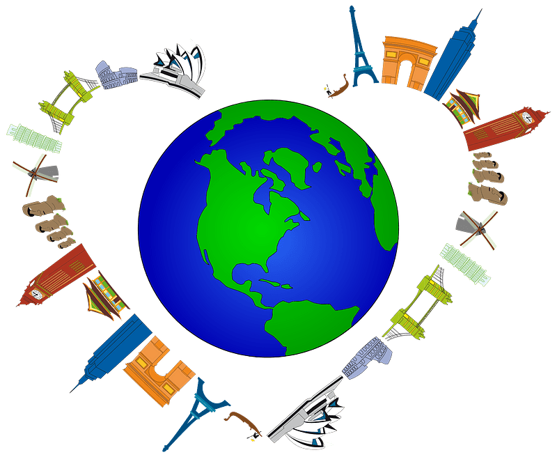
travel
maps
bibliothèque nationale de france
guillaume sanson
arnold's geographical handbook (1899)
maps of ocean currents
anti-catholicism in art
budenovkas in art
maps from the earth and its inhabitants, vol. x
maps with nicolosi globular projection
everett d. graff collection of western americana
george f. cram
a & c black general atlas of the world
19th-century celestial maps
africa
maps
planet
maps
maps by thomas starling
1842 maps
cartography
maps
eran laor cartographic collection
jacques chiquet
18th-century maps of western europe
1754 maps of europe
the story of geographical discovery
maps from books
atlas géographique des quatre parties du monde (delisle)
map of scandinavia by guillaume de l'isle (1706)
17th-century maps of the mediterranean sea
portolan charts made in the 17th century
planet
city
atlas géographique des quatre parties du monde (delisle)
map of scandinavia by guillaume de l'isle (1706)
planet
earth
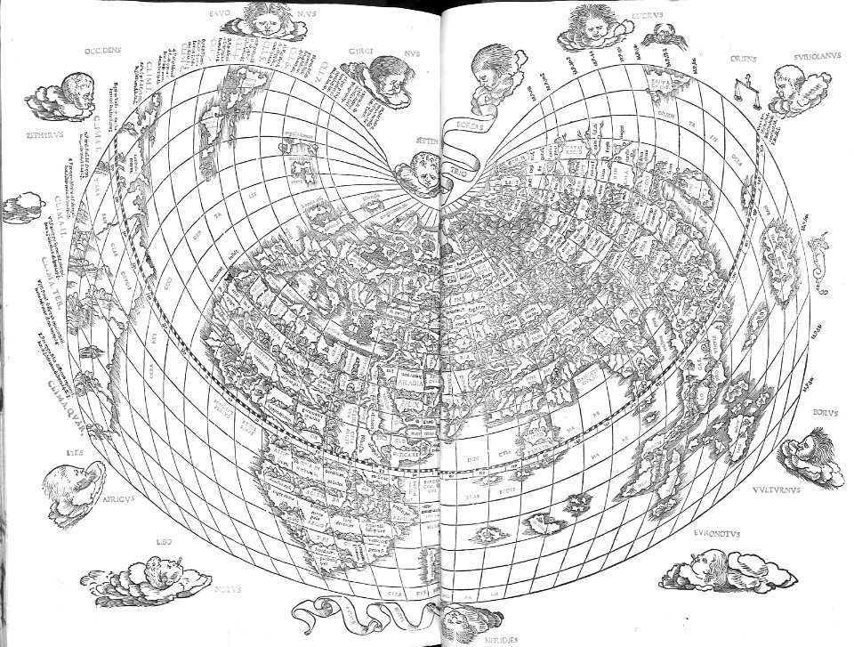
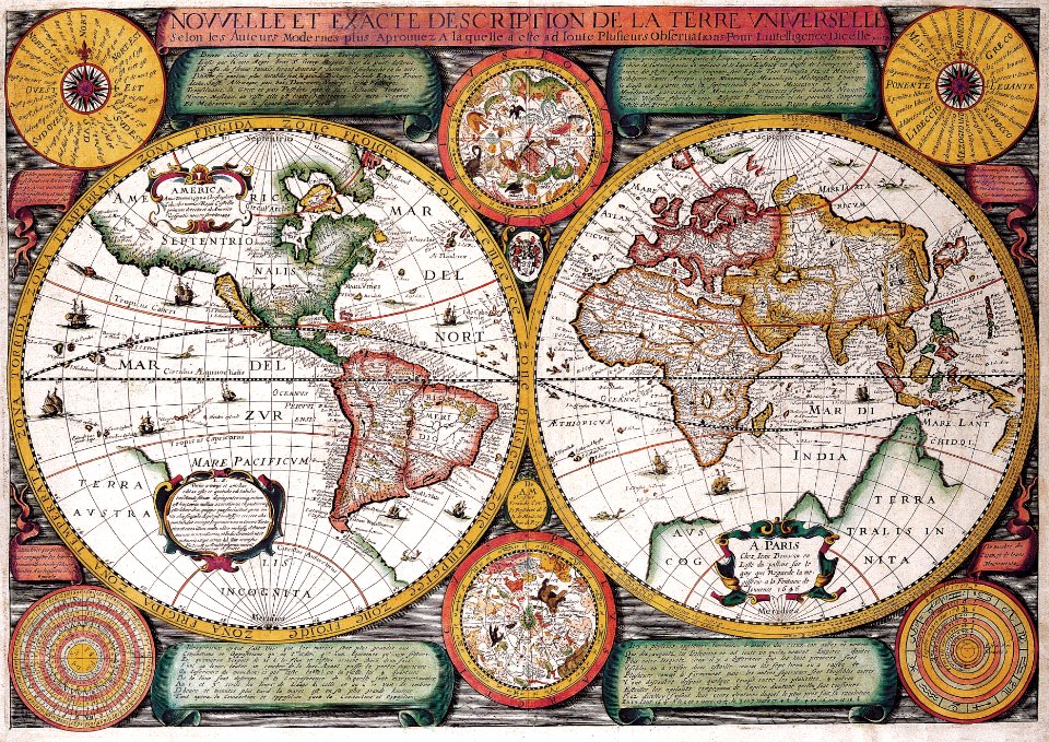
17th-century double hemisphere world maps
description de l'universe
antoine-françois tardieu
1800s maps of hispaniola
antoine-françois tardieu
1800s maps of hispaniola
planet
city
17th-century maps of thuringia
atlas novus (blaeu)
old maps of regions of france
pierre françois tardieu
lehen (freiburg im breisgau)
baroque
bosnia and herzegovina
map
background
maps
checkflickr
card
sanson maps of asia
1670s maps of asia
description de l'universe
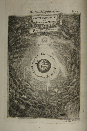
cosmography
1640s maps of the netherlands
maps by nicolaes visscher i
description de l'universe
cosmography
atlas ou representation du monde universel t. 2 (1633)
maps by hendrik hondius the younger
atlas ou representation du monde universel t. 2 (1633)
old maps of nuremberg
maps of saint paul's journeys
maps by pieter van der keere
atlas ou representation du monde universel t. 2 (1633)
1630s maps of virginia
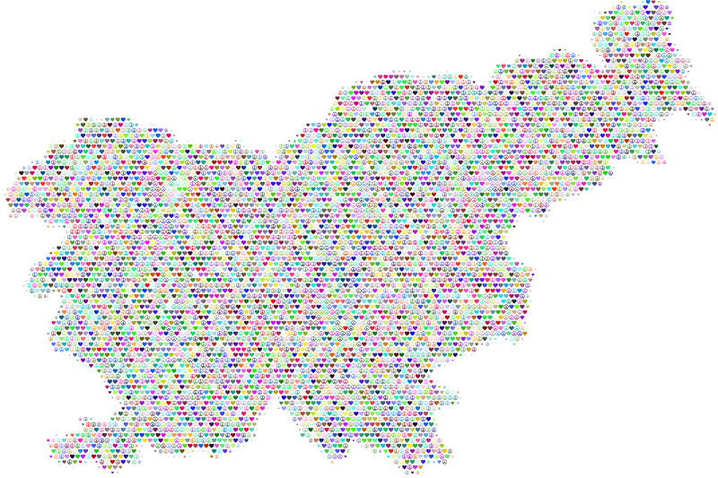
slovenia
map
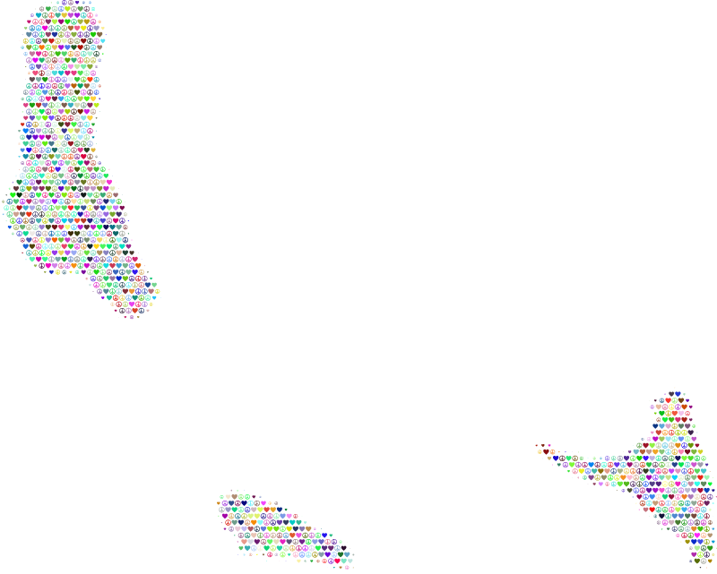
comoros
map
maps of saint paul's journeys
maps by thomas starling
cartography
maps
1780s maps of the balkans
carl schütz
liber qvartvs contrafactur vnd beschreibung von den vornembsten stten der welt (zzk 0.32)
patrimonium 2 (project)
liber qvartvs contrafactur vnd beschreibung von den vornembsten stten der welt (zzk 0.32)
patrimonium 2 (project)
liber qvartvs contrafactur vnd beschreibung von den vornembsten stten der welt (zzk 0.32)
patrimonium 2 (project)
liber qvartvs contrafactur vnd beschreibung von den vornembsten stten der welt (zzk 0.32)
patrimonium 2 (project)
liber qvartvs contrafactur vnd beschreibung von den vornembsten stten der welt (zzk 0.32)
patrimonium 2 (project)
icons
maps
liber qvartvs contrafactur vnd beschreibung von den vornembsten stten der welt (zzk 0.32)
patrimonium 2 (project)
liber qvartvs contrafactur vnd beschreibung von den vornembsten stten der welt (zzk 0.32)
patrimonium 2 (project)
maps of alsace by guillaume sanson
1660s maps of baden-württemberg
juan de la cruz cano y olmedilla
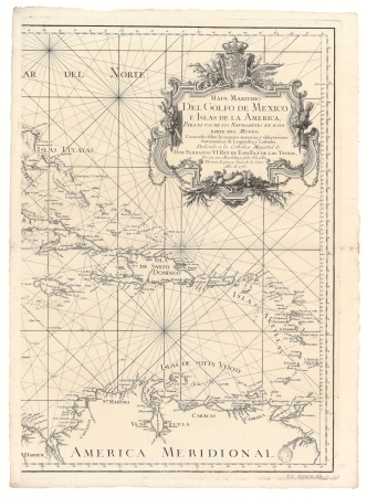
1750s maps of the caribbean
liber qvartvs contrafactur vnd beschreibung von den vornembsten stten der welt (zzk 0.32)
patrimonium 2 (project)
background
maps
continent
maps
extra-ptolemaic maps of the americas (1540 design by münster)
german renaissance,northern renaissance
liber qvartvs contrafactur vnd beschreibung von den vornembsten stten der welt (zzk 0.32)
patrimonium 2 (project)
liber qvartvs contrafactur vnd beschreibung von den vornembsten stten der welt (zzk 0.32)
patrimonium 2 (project)
liber qvartvs contrafactur vnd beschreibung von den vornembsten stten der welt (zzk 0.32)
patrimonium 2 (project)
liber qvartvs contrafactur vnd beschreibung von den vornembsten stten der welt (zzk 0.32)
patrimonium 2 (project)
liber qvartvs contrafactur vnd beschreibung von den vornembsten stten der welt (zzk 0.32)
patrimonium 2 (project)
cornelius aurelius world map
world map
maps
atlas sive cosmographicae (gerardus mercator, 1630)
maps of liège by baptista van doetecum
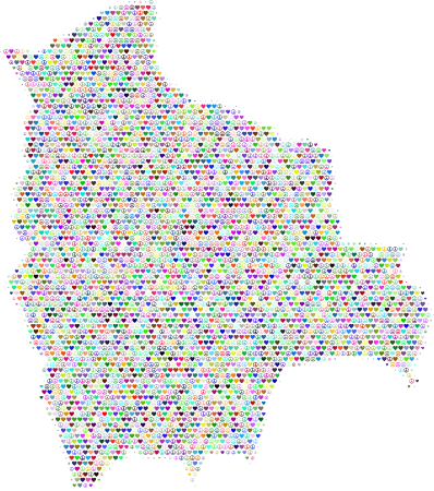
bolivia
map
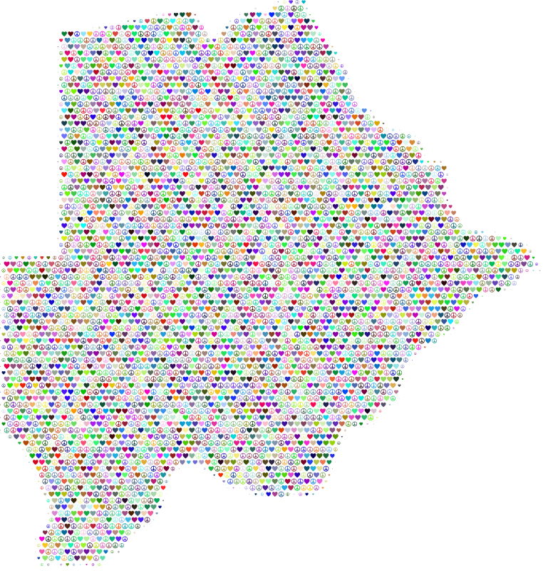
botswana
map
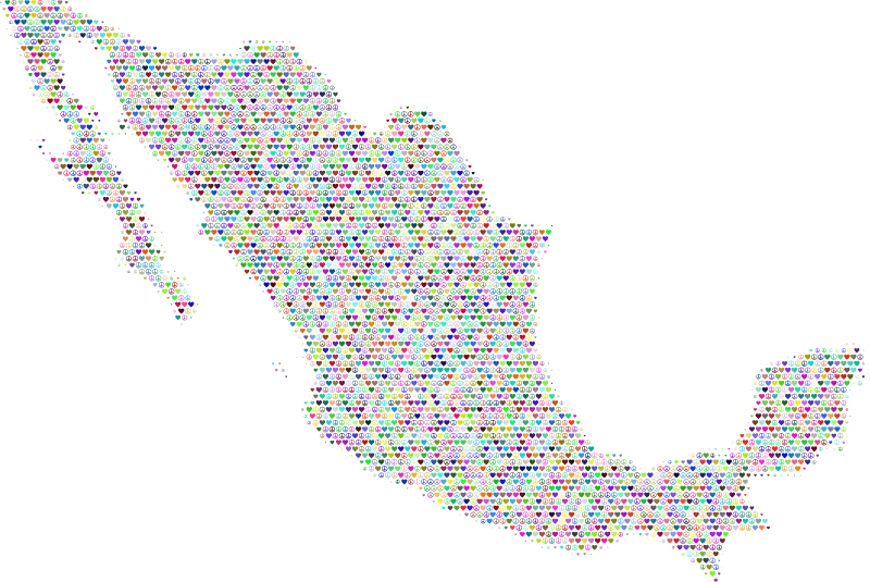
mexico
map
nigeria
map
oman
map
uzbekistan
map
atlas ou representation du monde universel t. 2 (1633)
17th-century maps of southeast asia
princess margriet of the netherlands in 1979
dutch baroque architecture
arnold's geographical handbook (1899)
1899 maps of the world
semeuse stamps on covers and postcards (5c)
postcards of charleville-mézières
old maps of ukraine
atlas novus (blaeu)
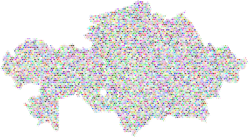
kazakhstan
map
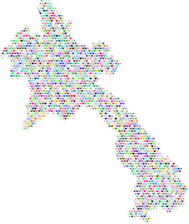
laos
map
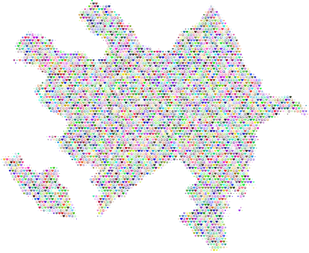
azerbaijan
map
3101 - 3200 of 4,035
Next page
/ 41


![Gerardi Mercatoris and I. Hondii Atlas or Representation of the Universal World, and of the Parts of It, Made in Tables and Very Ample Descriptions. [t. 2].](https://cdn.creazilla.com/illustrations/10000421870/gerardi-mercatoris-and-i-hondii-atlas-or-representation-of-the-universal-world-and-of-the-parts-of-it-made-in-tables-and-very-ample-descriptions-t-2-md.jpg)
![Gerardi Mercatoris and I. Hondii Atlas or Representation of the Universal World, and of the Parts of It, Made in Tables and Very Ample Descriptions. [t. 2].](https://cdn.creazilla.com/illustrations/10001133003/gerardi-mercatoris-and-i-hondii-atlas-or-representation-of-the-universal-world-and-of-the-parts-of-it-made-in-tables-and-very-ample-descriptions-t-2-sm.webp)

![Gerardi Mercatoris and I. Hondii Atlas or Representation of the Universal World, and of the Parts of It, Made in Tables and Very Ample Descriptions. [t. 2].](https://cdn.creazilla.com/illustrations/10001569396/gerardi-mercatoris-and-i-hondii-atlas-or-representation-of-the-universal-world-and-of-the-parts-of-it-made-in-tables-and-very-ample-descriptions-t-2-sm.webp)


![Gerardi Mercatoris and I. Hondii Atlas or Representation of the Universal World, and of the Parts of It, Made in Tables and Very Ample Descriptions. [t. 2].](https://cdn.creazilla.com/illustrations/10000597422/gerardi-mercatoris-and-i-hondii-atlas-or-representation-of-the-universal-world-and-of-the-parts-of-it-made-in-tables-and-very-ample-descriptions-t-2-md.jpg)